Uskudar / Altunizade / Istanbul

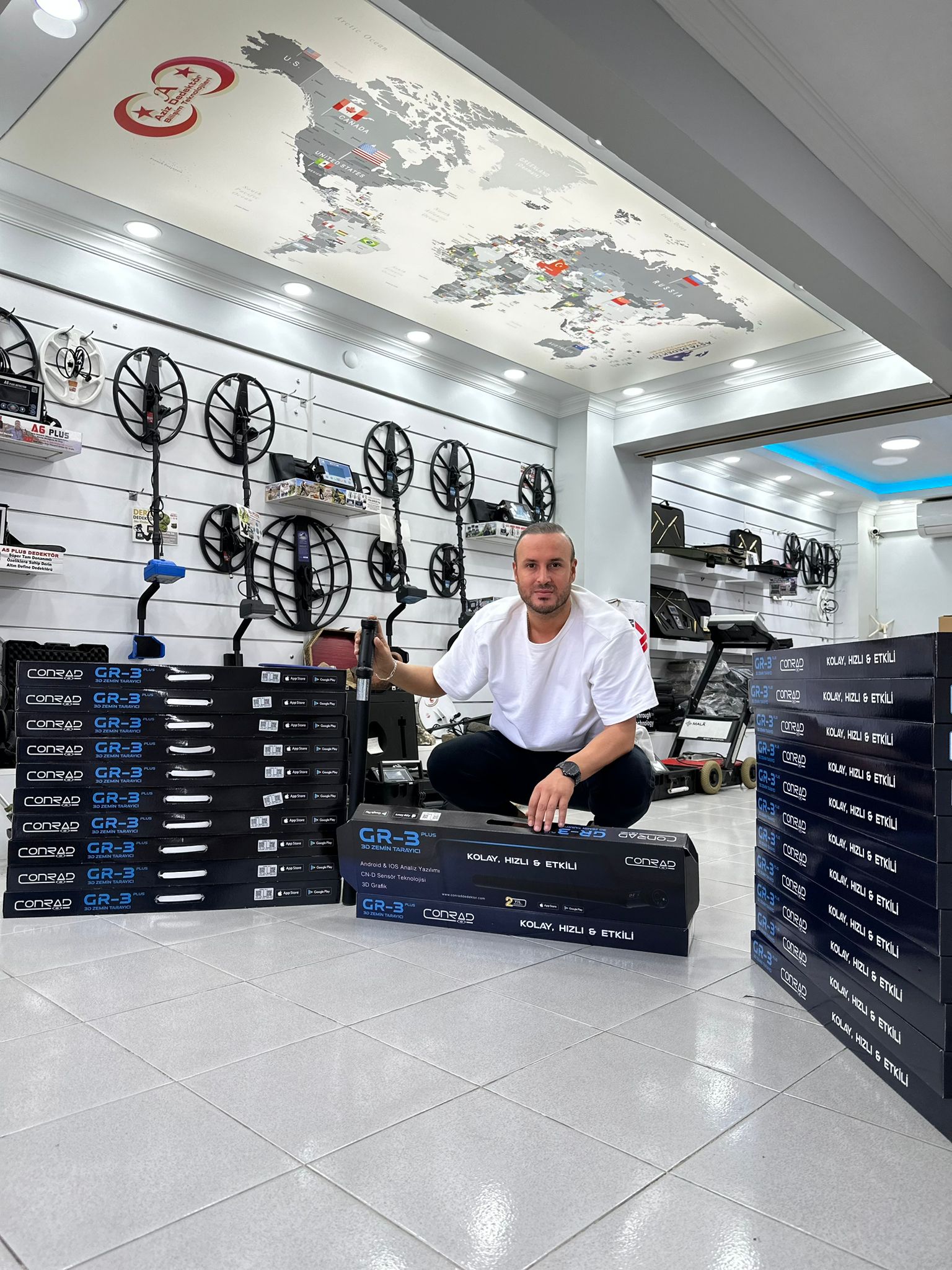
GR-3 is designed to be extremely simple and compact for everyone to use. It does not have any cables or heavy batteries. Thanks to its lightweight design, the user scans the ground and the data received during the scan appears instantly (real-time) on the screen of a mobile device such as a tablet or phone. The results on the screen can be analyzed immediately after the scanning and measurement process is completed. You can store the received data on your mobile devices such as a tablet or phone and evaluate it in detail again when necessary.
The depth and diameter (size) of the target (metal and/or cavity) can be quickly obtained thanks to the software options. The GR-3 product is a multi-purpose device and can be used easily in all types of terrain (ground) structures (sandy, rocky or clayey). There are two different models of the GR-3 product; GR-3 and GR-3 Plus. The GR-3 model has a high-precision single sensor system (CN-S Sensor)
Wireless data transfer
- Specially developed 3D Analysis application for Android and IOS
- Automatic and Manual, 3D Ground scanning function
- Live scanning and Pinpointer function
- Charging with 5 volt micro USB (can be charged with portable power sources)
With the Pinpointer function; it allows you to find the exact locations of objects. It enables detection from very deep places thanks to its special sensors developed in software and hardware.
* Depth values vary depending on soil type and size of buried object. The values given are maximum values.
Gr-3 Plus Underground Imaging Device Package contents;
- 5 volt charging adapter and charging cable
- Carrying case
- User manual
- Warranty certificate


